accessibility statement
As at August 2026
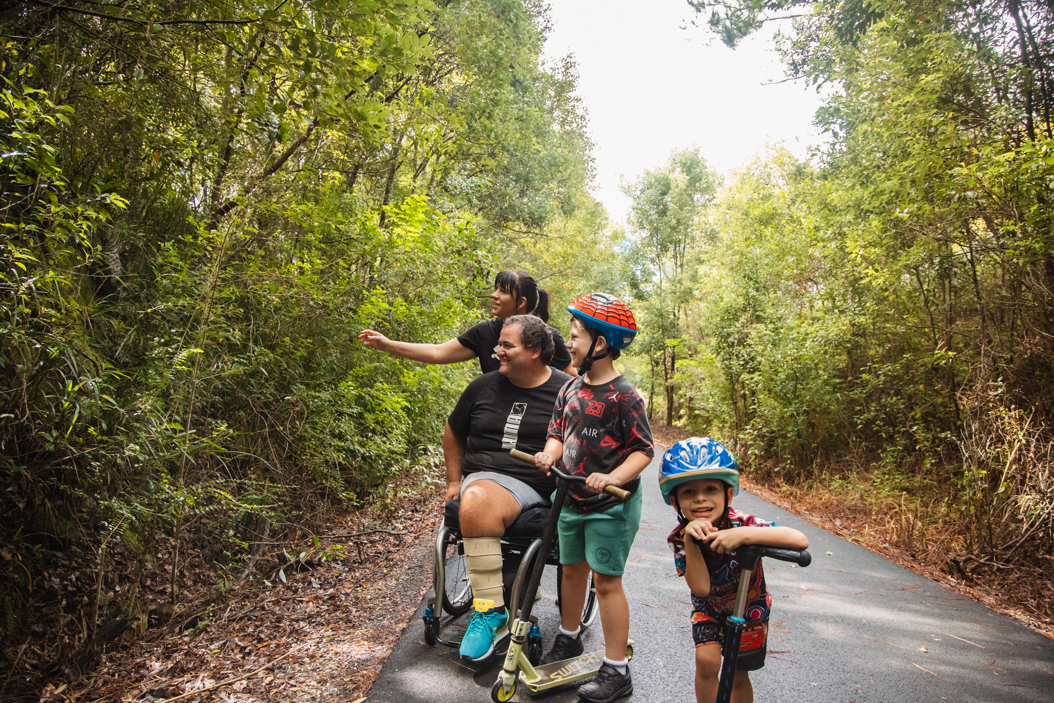
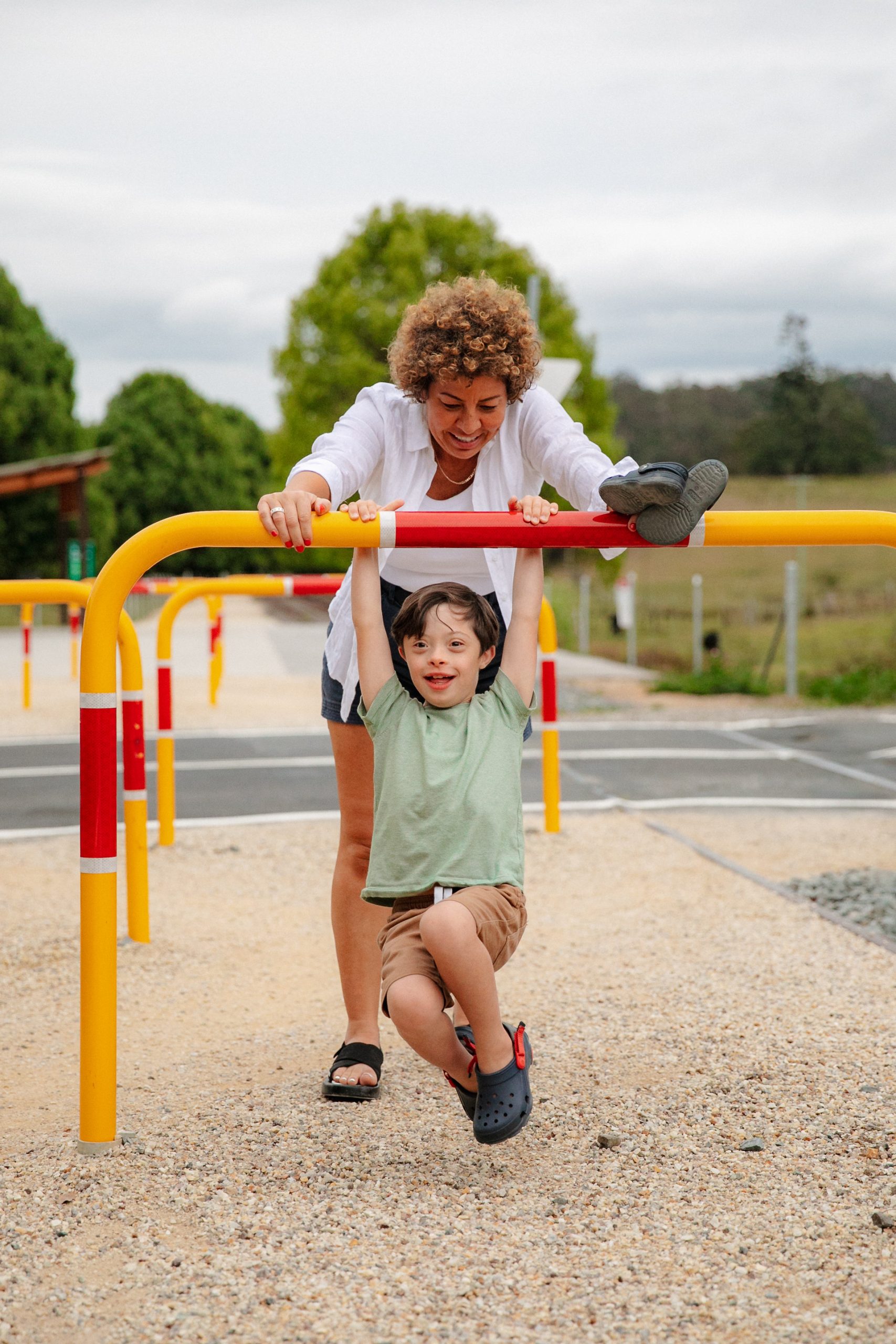
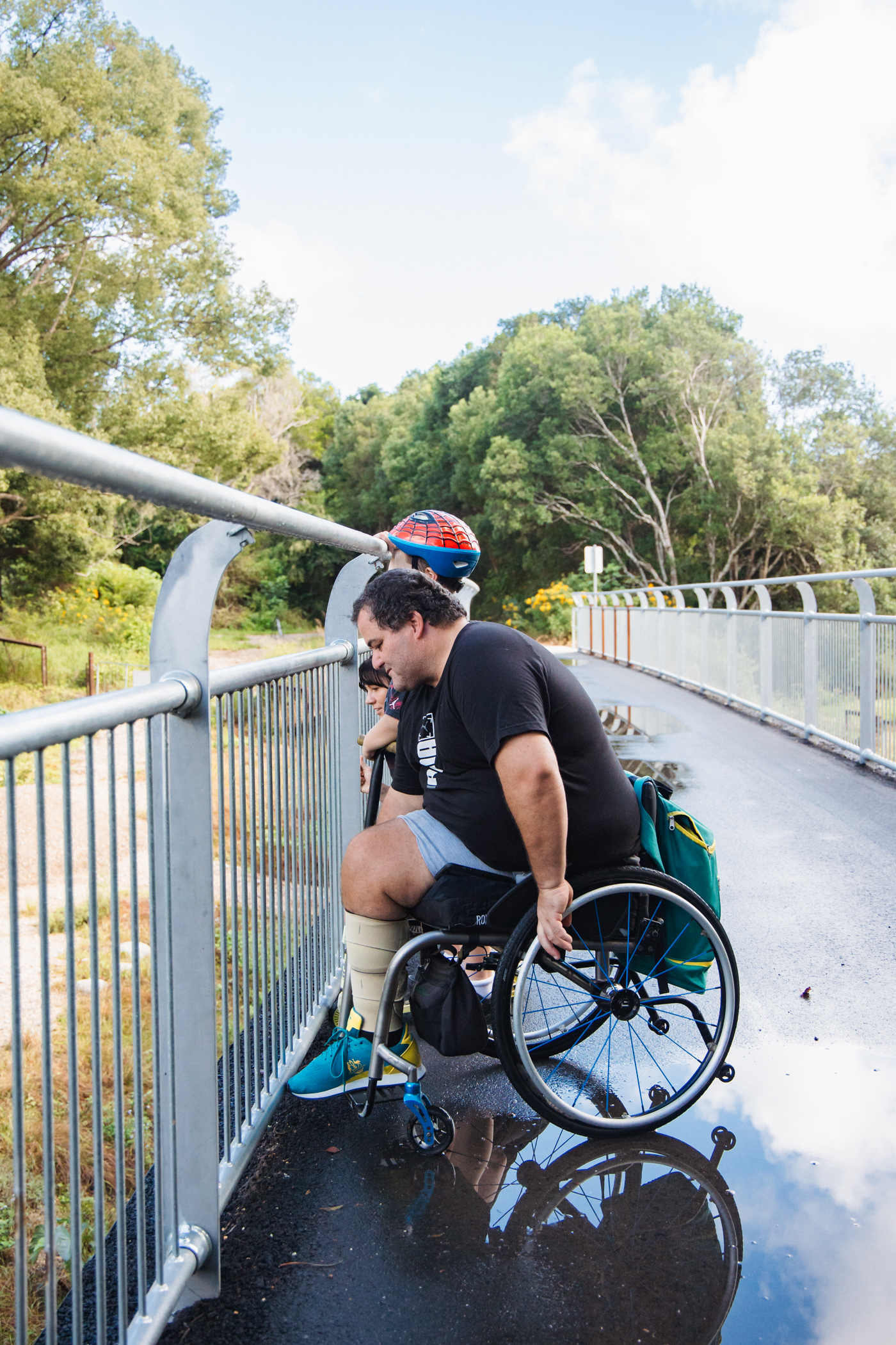
The Northern Rivers Rail Trail is for everyone. We want all visitors to enjoy the trail safely and comfortably. The trail is designed to be accessible and inclusive. We provide information to help you plan your visit. You may like to come with a friend, family member or support person, especially on your first visit.
We are always working to improve access. As upgrades are made, we will update this page. Download the accessibility statement here or read it below.
Murwillumbah to Crabbes Creek Section
At Murwillumbah Railway Station you can enter the trail at ground level. There are also two ramps to the platform, one at each end.
Two accessible parking bays are next to the trail entry at ground level. You can reach the trail from the platform using the ramps or the ground level entry.
The station has a raised platform with a drop to the track. The edge is marked with warning signs, tactile ground surface indicators and high-contrast colour. Staff at the Visitor Information Centre at the station can help with trail enquiries, amenities and access.
Casino to Lismore Section
-
Old Casino Station: 48 untimed parking spaces, including 2 accessible spaces.
-
Spring Grove car park: Bus turn-around bay, 122 untimed spaces, including 2 accessible spaces.
-
Naughtons Gap car park: 6 untimed car and trailer spaces and 3 untimed car spaces.
-
Bentley Road car park: 32 untimed car spaces, 2 accessible spaces, and 8 car and trailer spaces.
At the car park beside Lismore Railway Station there is ground level access directly to the Rail Trail. Two accessible parking bays are available.
Murwillumbah to Crabbes Creek Section
At Murwillumbah Railway Station there are two accessible parking bays at the northern end of the station, next to the ground level trail entry and ramp access to the platform. At the southern entry there is a set-down and bus bay, with a ramp to the platform.
At Burringbar there is one accessible parking bay at Burringbar Memorial Reserve and Masterson Park. This connects to the sealed asphalt section of the trail leading to Mooball. General parking is available along nearby public roads for the rest of the trail.
Casino to Lismore Section
At the Casino trail head there is ground level access to the trail and two accessible parking bays next to the entry.
At the car park beside Lismore Railway Station there are two accessible parking bays next to the ground level trail entry.
Murwillumbah to Crabbes Creek Section
Fully accessible toilets are available at Murwillumbah Railway Station.
Public toilets are also located at Stokers, Burringbar, Mooball and Crabbes Creek townships. These are older or heritage facilities and may not meet current Australian Standards for accessibility. We recognise this can make access difficult for some people and are committed to improving facilities as funding becomes available.
Council’s Rail Trail and Parks and Active Communities teams are seeking funding to upgrade village connections and public infrastructure along the trail.
Casino to Lismore Section
Fully accessible toilets are available at Lismore Railway Station.
There are also toilets at Bentley Road car park and at the Old Casino Station. These facilities are older and may not meet current Australian Standards for accessibility. Planning is underway to build an accessible toilet at the Spring Grove Road car park.
Along Union Street, Lismore, in front of the Rail Trail car park, there are male and female toilets. Some features are non-compliant with current accessibility standards. Options for new accessible toilets are being explored.
Tuesdays, Wednesdays and Thursdays
9.30 am to 12.30 pm
Casino Bookings
For all Casino bookings please send a Facebook message to Cycling Without Age – Casino or call Narelle 0404 387 304 or Luisa 0401 489 279 to secure your ride.
Ride times
9am, 10am and 11am March to October.
Murwillumbah to Crabbes Creek Section
At a glance
-
Distance: 24 km
-
Surface: 6 km sealed asphalt, 18 km compacted gravel
This section has a mix of sealed asphalt and compacted gravel.
-
6 kilometres are sealed asphalt: from Murwillumbah Railway Station to the Tweed Regional Gallery, and between Burringbar and Mooball.
-
18 kilometres are compacted gravel, suitable for mobility scooters and other mobility devices.
Casino to Lismore Section
At a glance
-
Distance: 29.7 km
-
Surface: Combination of sealed asphalt, compacted gravel, and concrete sections at key entry points
-
Mobility: Suitable for mobility scooters and other mobility devices
This section also has a mix of sealed asphalt and compacted gravel. The surface is durable and accessible.
-
A sealed asphalt section runs over the Naughtons Gap tunnel.
-
Concrete sections are located at key entry points for easier access.
-
The full trail is suitable for some mobility scooters and other mobility devices.
Murwillumbah to Crabbes Creek Section
At a glance
-
7 formal rest stops with seating, picnic tables, bike racks
-
Shade at most locations
-
Water available at Murwillumbah Railway Station, Burringbar and Mooball
-
Extra benches and picnic settings along the 24 km section
There are 7 designated rest stops at:
-
Murwillumbah Railway Station (trailhead)
-
Tweed Regional Gallery
- Dunbible
-
Stokers Siding
-
Burringbar
-
Mooball
-
Crabbes Creek
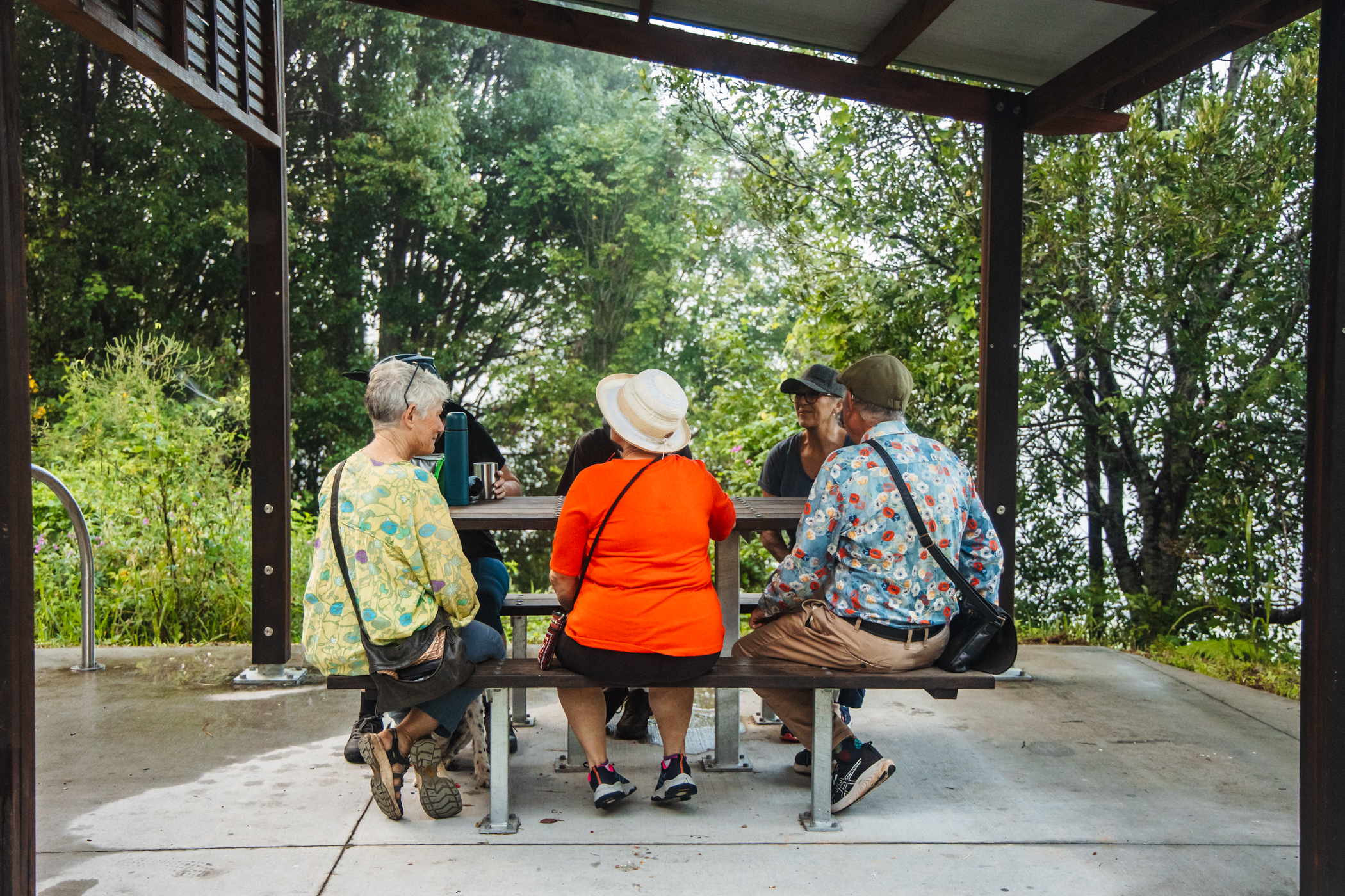
Each stop has a picnic table, bench-style seating and bike racks and shade structures.
Additional bench seats and picnic settings have been added along the 24 km trail for more frequent rest opportunities. This improves comfort and accessibility for walkers, older adults and people with limited mobility. Upgraded seating is also available at Murwillumbah Railway Station.
Casino to Lismore Section
At a glance
-
11 rest stops between Casino and Lismore
-
6 new rest stops near Lismore
-
Most stops have shade, bike racks, seating and picnic tables
-
Water available at Old Casino Station, Lismore Railway Station and Rifle Range Road
There are 11 rest stops between Casino and Lismore, including:
-
Old Casino Station
-
Spring Grove car park
-
Naughtons Gap car park
-
Naughtons Gap Tunnel
-
Bentley Road car park
Most feature a shade structure, bike racks, seating and picnic tables. Water is available at Old Casino Station.
On the Lismore side of Back Creek Bridge, Bentley, there are 6 new rest stops at:
-
Lismore Railway Station
-
Rifle Range Road
-
Kyogle Road/Cubawee
-
Leycester Station (Lilly Pond)
-
Back Creek Bridge, Leycester
-
Oakey Creek/Bungabbee Road
Each has a shelter, picnic table and bench seating. Drinking water is available at Lismore Railway Station and at Rifle Range Road (about 5 km from Lismore Railway Station).
Murwillumbah to Crabbes Creek Section
At Murwillumbah Railway Station there is a fully accessible ramp connecting the platform to the ground level trail entry.
Concrete pathways connect the trail to the public toilets at Burringbar and Mooball.
The pathway linking the trail to the Tweed Regional Gallery is not accessible. It has steep inclines and several sets of stairs.
There are no other stairs on the Rail Trail.
Casino to Lismore Section
At Bentley Road car park there is a pathway connecting the trail to the public toilets.
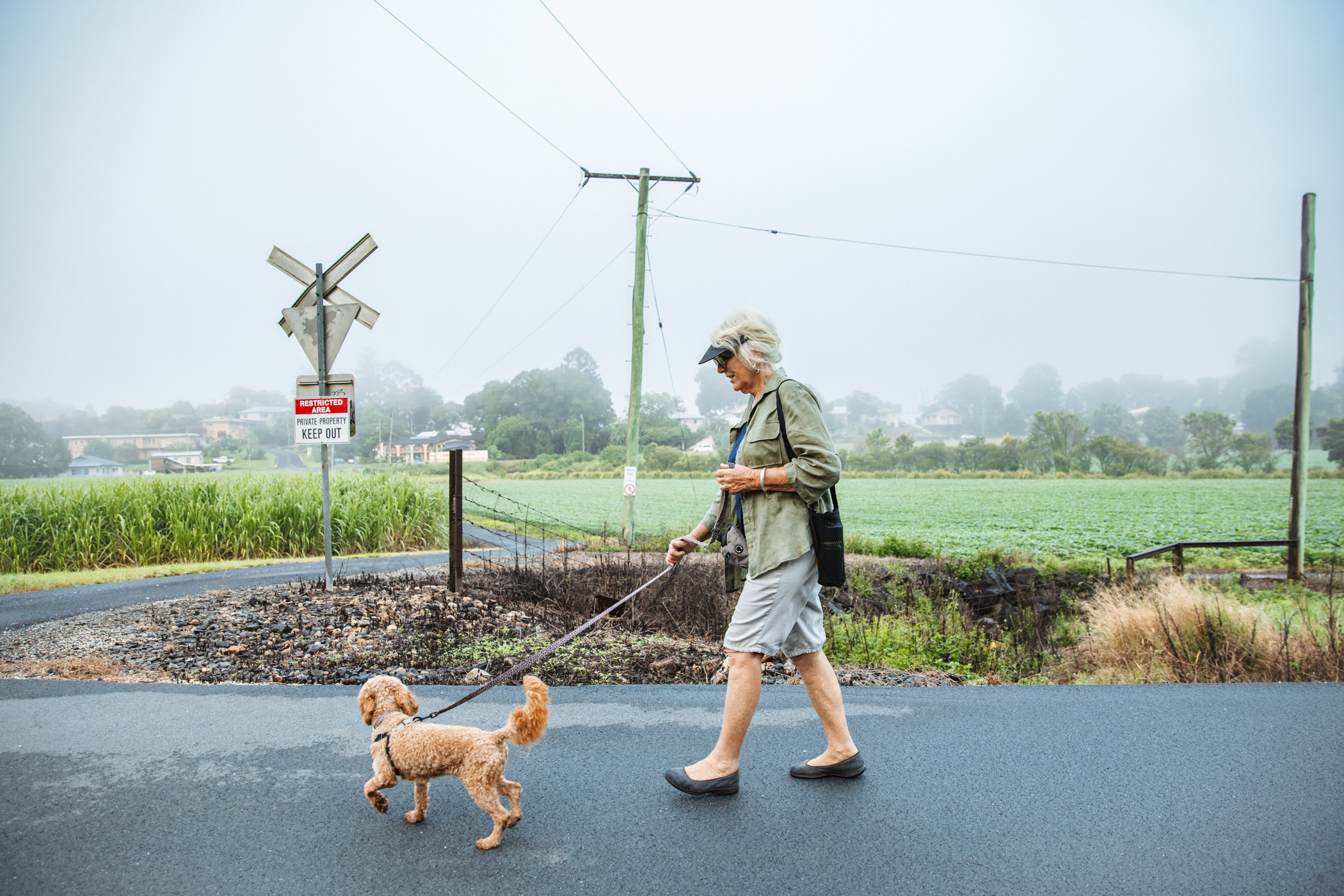
Assistance animals are welcome on all open sections of the Northern Rivers Rail Trail.
All dogs must be kept on a short lead at all times. Owners are responsible for cleaning up after their dogs.
The 24 km Murwillumbah to Crabbes Creek section provides a continuous path through townships and natural landscapes. Some areas are more accessible than others, depending on nearby toilets, parking and other facilities. The original project budget focused on building the shared path and signage, not extra amenities.
During construction, Council carried out two audits of the Rail Trail and Murwillumbah Railway Station to identify current access features and where improvements are needed. We are committed to improving access as funding becomes available.
For details on upcoming projects, visit:
Northern Rivers Rail Trail strives to ensure that its digital services are accessible to people with disabilities. Northern Rivers Rail Trail has invested significant resources to help ensure access for all users, including people with disabilities, with the strong belief that every person has the right to live with dignity, equality, comfort and independence.
Digital accessibility is not just a target we aim to achieve, but an ongoing commitment that we carry in every aspect of our digital service delivery. We recognise that this requires continuous monitoring, improvement, and adaptation. In the sections below, we elaborate on the various efforts that have been undertaken to address our progress in ensuring digital accessibility for all.
A key element of our accessibility initiative is our engagement with a third-party accessibility consulting organisation UserWay to help bring the website into conformance. We use industry standard accessibility methods and tools to accomplish this, in accordance with the relevant version of Web Content Accessibility Guidelines (WCAG) as set forth by the World Wide Web Consortium (W3C) the internet’s main international standards-setting organisation.
As part of our steadfast commitment to enhancing and addressing accessibility challenges, we use developers who are expert in digital accessibility.
Our approach to accessibility includes both manual accessibility auditing and automated scans.
northernriversrailtrail.com.au makes available the UserWay Website Accessibility Widget that is powered by a dedicated accessibility server.
The Widget offers user-triggered enhancements that allow visitors to improve the accessibility of the site. These features will, when selected, increase font size, pause animations, change color contrast, and more. People can choose combinations that suit their needs, as per WCAG Level AAA.
The site has enabled Automated Remediation Technology (ART) for all visitors, whether they use assistive technology or not. ART does not detect Assistive Technology usage; rather, it improves accessibility for all site visitors regardless of ability by deploying remediation capabilities such as (not a complete list):
- Images and other non-text elements have alternative text associated with them when required;
- Keyboard navigation is improved with aids such as focus indication and skip links;
Please Contact Us
We are here to assist you and make your experience as smooth and inclusive as possible. If you encounter any digital accessibility issues with our products or services, or need information related to digital accessibility, we want to hear from you! Also, we appreciate and welcome feedback, and we are always ready to embrace suggestions for enhancing our digital accessibility efforts.
Contact Information:
- Northern Rivers Rail Trail
- Email: hello@northernriversrailtrail.com.au
We take accessibility seriously and will get back to you shortly.
Planning My Visit to the Northern Rivers Rail Trail
A social script to help me feel prepared and comfortable.
What is the Northern Rivers Rail Trail?
The Northern Rivers Rail Trail is a safe and mostly flat path where I can walk, ride a bike, or use a mobility aid. It goes through towns and countryside, and there are signs along the way to help me know where I am.
Getting There
-
I can travel by car to one of the trail access points.
-
Some places have car parks, toilets, and places to rest.
-
I can check a map online before I go to see where to start and finish.
-
If I need help, I can ask a friend, family member, or carer to come with me.
What Will I See and Do?
-
I will be outside. There may be sunshine, wind, or rain.
-
I might see trees, animals, farms, or other people using the trail.
-
I can walk, ride, or roll as far as I want and turn around when I’m ready.
-
There are signs and markers to guide me.
What Might I Hear?
-
Birds, people talking, bikes going past, or leaves rustling.
-
Sometimes there may be traffic noises near towns or crossings.
-
These sounds are normal and part of being outdoors.
People on the Trail
-
Some people may be walking, riding bikes, running, or walking dogs.
-
Everyone is welcome on the trail.
-
If someone passes me, they might say “hello” or “thank you.”
-
I can smile or wave back if I feel comfortable.
Staying Safe
-
I should stay to the left side of the trail.
-
If I need to stop, I can move to the side.
-
There are rest stops and shaded areas along the way.
-
I can bring water, snacks, sunscreen, and a hat.
Facilities and Amenities
-
There are toilets at some entry points.
-
Some places have cafés or shops nearby.
-
I can check the website map to see where these are before I go.
If I Feel Overwhelmed
-
It’s okay to take a break.
-
I can sit and breathe slowly.
-
I can leave the trail at any time.
-
I can talk to my support person or call someone I trust.
Need Help?
I can visit the Rail Trail website for maps and information.
If I’m unsure, I can email or call the Rail Trail team before I go.
For all access enquiries to best plan ahead for your trip please call 02 6673 0404, email hello@northernriversrailtrail.com.au. We also encourage you to share your feedback so we can continuously improve the trail.